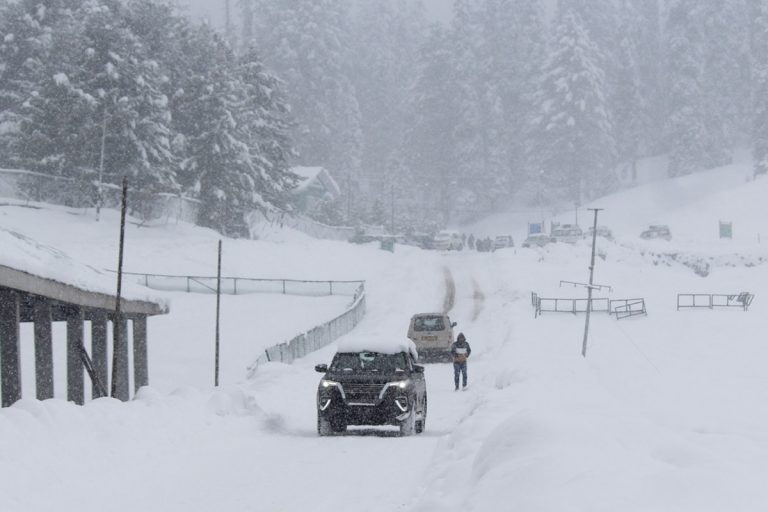
The weather in the northernmost parts of India is set to remain wet and cold for the remainder of this week, as more rainfall and snowfall has been forecast across the Western Himalayan Region.
According to the India Meteorological Department (IMD), a feeble western disturbance is currently impacting the North Indian weather, while yet another fresh western disturbance is expected to arrive on Wednesday, December 15.
These western disturbances are essentially low-pressure systems that originate over the Mediterranean Sea, and are then pushed towards India by high-altitude westerly winds. Along the way, they gather moisture from various sources, including the Mediterranean and Caspian Seas, and the precipitation is then dumped over North, Northwest, and at times, even Northeast India.
Under the influence of these systems, light to moderate rainfall/snowfall is likely at isolated parts of Kashmir and Ladakh for the next five days, and over Himachal Pradesh on Thursday and Friday, December 16-17.
Similar conditions have also been forecast across the Gilgit-Baltistan-Muzaffarabad regions for this week.
As the intensity of the weather conditions will be moderate at best, no weather warnings have been issued over the region in this forecast period.
Meanwhile, the western disturbance is also expected to influence the night-time temperatures across the adjoining northwestern plains.
The IMD forecast adds that the minimum temperatures in most parts of Delhi, Punjab, Haryana, Chandigarh, north Rajasthan, Uttar Pradesh and north Madhya Pradesh will remain in the range of 6-10°C for the next three days.
In fact, Delhi may especially be in for some of the coldest days of this winter season this week. As per the IMD, the capital’s minimum temperature may dip down to 7°C by Thursday, 6°C over the coming weekend, and a bone-chilling 5°C by next Monday, December 20.
On the other hand, Delhi’s maximum temperatures are also likely to drop to 21°C, with foggy mornings on the horizon throughout the week.
(With inputs from IANS)


